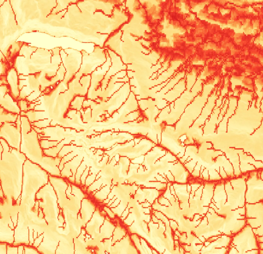
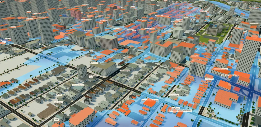
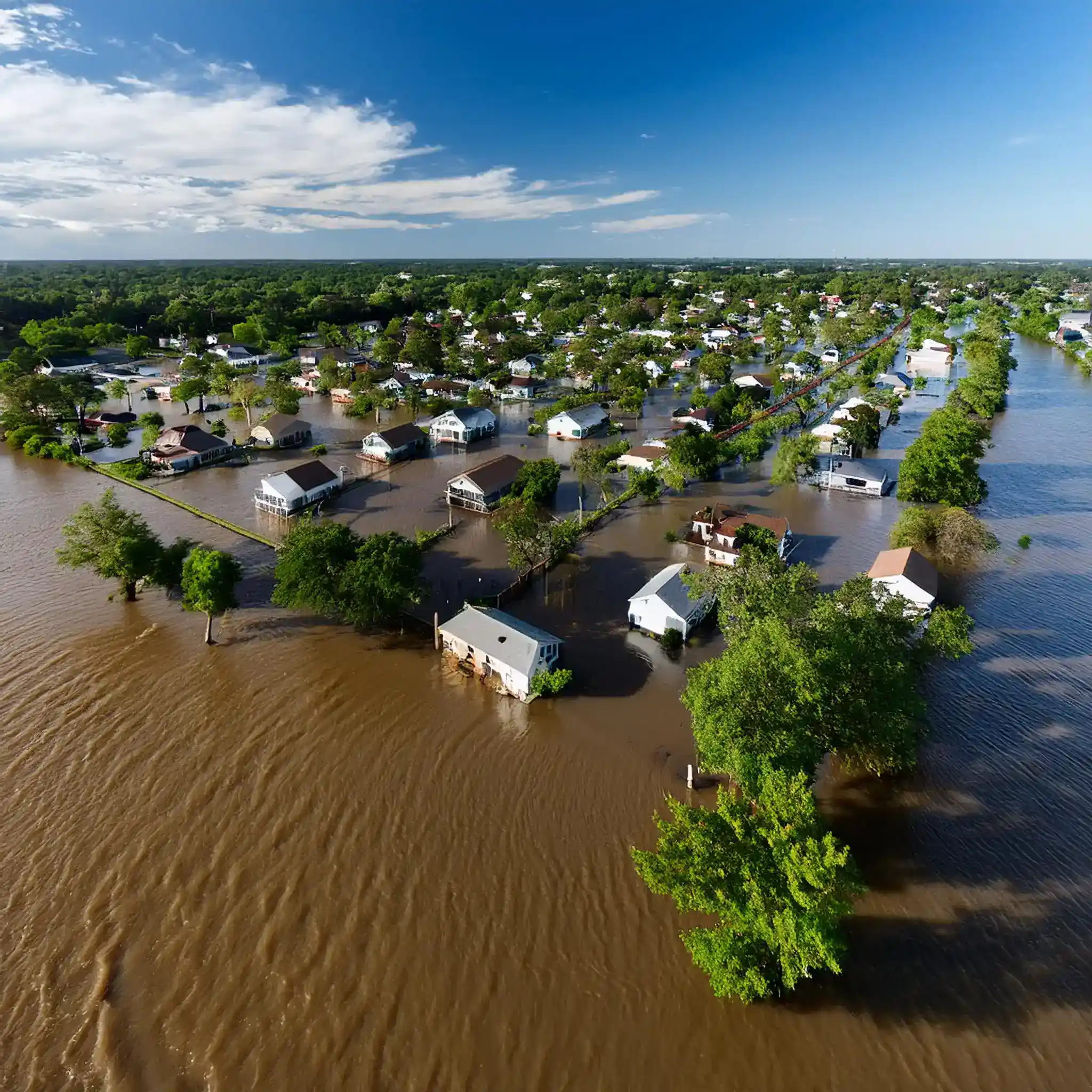
Understand risk.
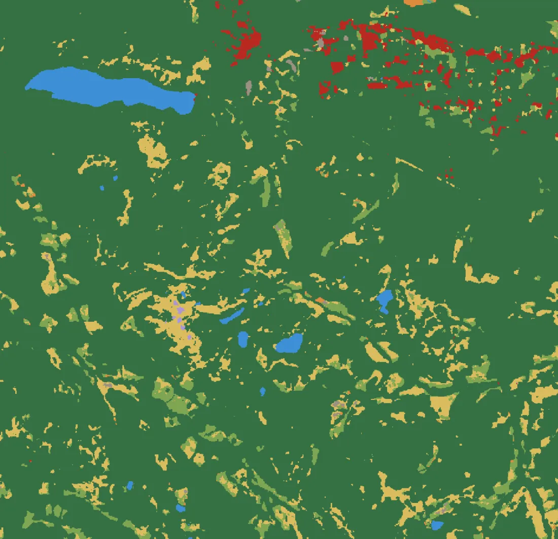
Protect what matters.
Aspian AI turns Earth data into a queryable copilot — so risk and conservation teams act in minutes, not months.
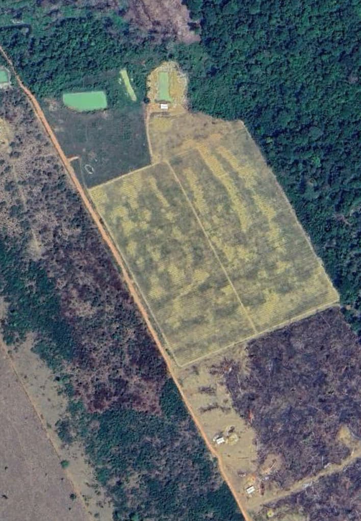
Ask in plain language. Get answers in pixels.
Describe what you're looking for. Aspian AI searches every tile on Earth and returns the matches, ranked by confidence.
Earth intelligence that's fast, defensible, and built for action.
Few-shot detection
Give a handful of examples and Aspian AI finds every similar feature across the planet — no training pipeline required.
No-code workflows
Guided tools so analysts and field teams get answers without writing a line of code.
Built to scale
From a single pilot to enterprise deployments, the same APIs, SDKs, and apps grow with you.
Defensible by design
Every answer ships with confidence scores, sources, and timestamps you can stand behind.
One copilot. Three ways in.
Aspian API
Fast, scalable access to embeddings and downstream modeling — drop Earth observation into your apps, models, and pipelines.
Learn more →
Aspian Atlas
An intuitive app linking imagery, embeddings, weather, and points of interest into localized, actionable insight.
Learn more →
Aspian Studio
A no-code, collaborative workspace to create, label, and validate geospatial datasets with your team.
Learn more →From finding patterns to measuring change.
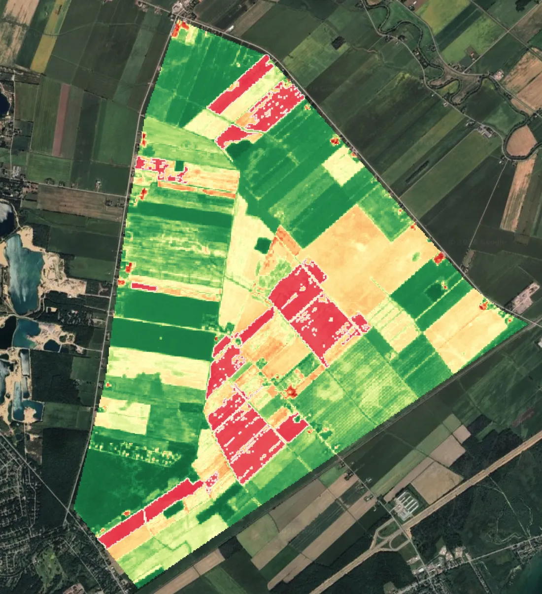
See what teams ship with Aspian AI across risk and conservation.

“There's almost 200 petabytes of Earth imagery — creating both complexity and possibility.”
Industry Panel“A startup that wants to make a ChatGPT for the Earth.”
Tech Press“Start with satellite images of the Earth. Then add AI.”
Business Daily